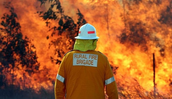
[1] The Australian government has rolled out a new mapping app that will give Queensland fire officers live aerial views of fires on their iPads and tablets for faster fire response.
[2] This will be a technological shift from the use of radio communications to the use of apps for reliable and direct live streams.
[3] The government is also in the process of rolling a similar application that will help urban and rural firefighters access key maps and information to help in bushfire operations.