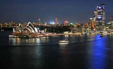
[1] Through Twitter and Instagram, university researchers will be mapping out the activities of the G20 Leaders’ Summit.
[2] Dr Peta Mitchell from the Queensland University of Technology will be making use of “geoparsing” software to scrutinize various tweets and Instagram posts, specifically on streets, landmarks, etc.
[3] The online interactive map enables researchers to see the various social media patterns and activities for the day.